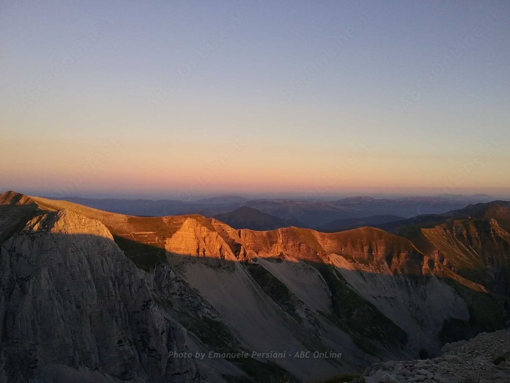
It is particularly impressive when seen from the beginning of the valley, especially from Foce di Montemonaco. Overlooking Lake Pilato, it is a popular destination for climbers, especially in winter.
The system of valleys that converge on this part of the Sibillini Mountains is just one of many that characterise the Marche sector of the Park. These valleys, almost parallel to each other, have glacial origins and are therefore similar in shape. The most important are the Valle dell’Infernaccio (beyond Mount Sibilla) and the Valle dell’Ambro (beyond Mount Priora).
Historically, it was the Cima del Redentore (Redeemer’s Peak) that was called “Vettore”, because it is the most visible peak of the group (the real Vettore is hidden by the Piani di Castelluccio), although it is about twenty metres lower.
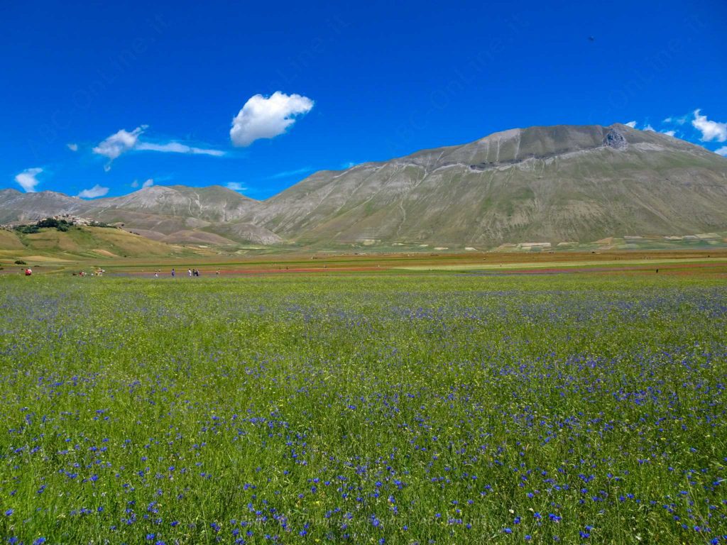
There are several ways to reach the top of this peak. The first is the one that starts from Foce di Montemonaco and goes south towards Lago di Pilato (about 2-3 hours). Once there, you go towards the Rifugio Zilioli and then towards the panoramic ridge, from where you can see the province of Ascoli Piceno and Macerata to the east, the Adriatic Sea with its numerous hills and rivers, and the “lunar” landscape of the plain of Castelluccio di Norcia, in Umbria, to the west.
Another route, ideal for those coming from Umbria, goes from Forca di Presta to the Rifugio Tito Zilioli, then turns left and climbs along the ridge to the summit. Another option is the long and scenic ridge that starts from the north, from Casale Ghezzi and Forca Viola.
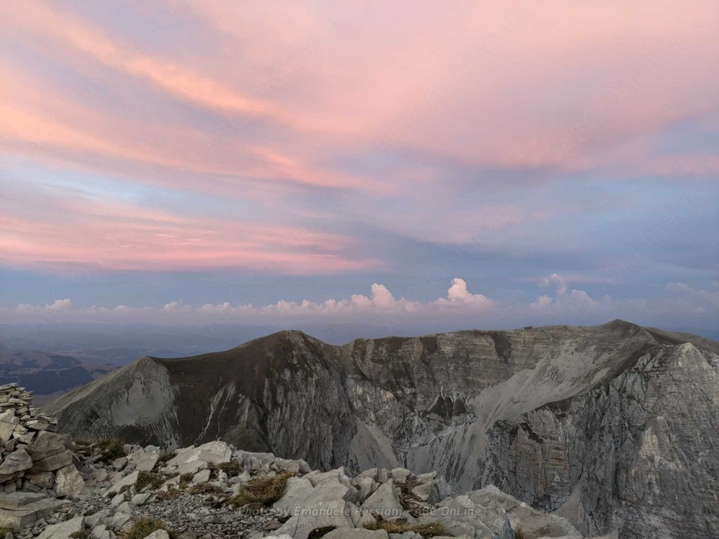
Once at the top of the Cime del Redentore, the panorama includes not only the hinterland of Umbria and the Marches, but also the Pilato Valley, the Gardosa plain and the Piani di Castelluccio di Norcia.
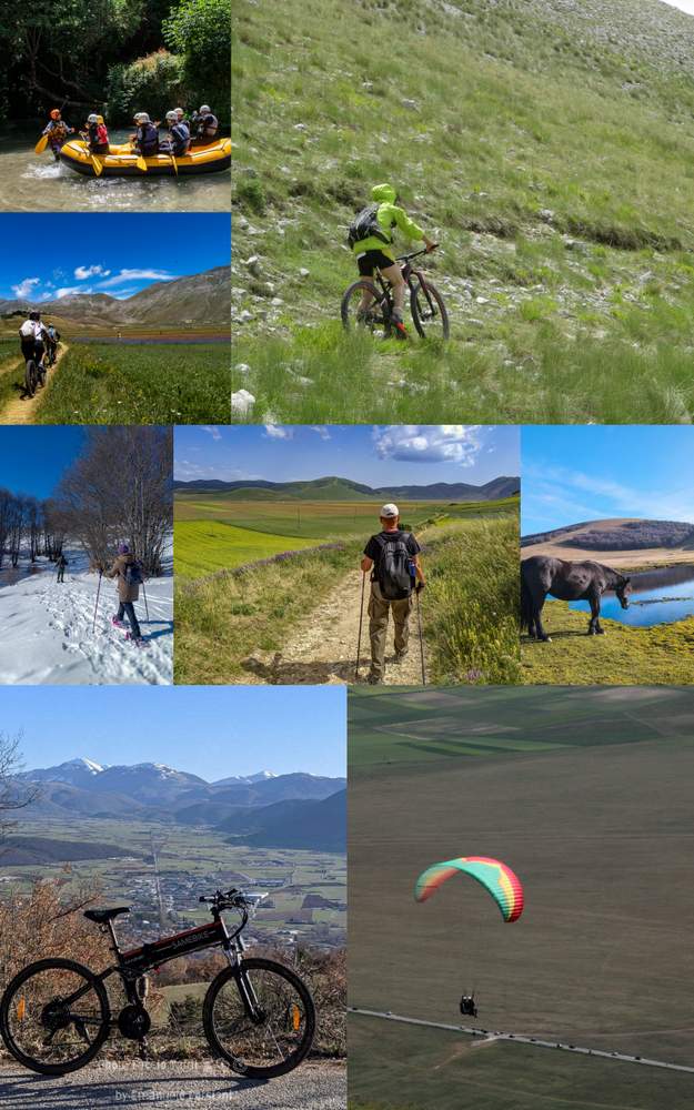
Castelluccio di Norcia itineraries and trails
Discover all the itineraries you can follow around Castelluccio di Norcia or check out the page dedicated to PARK GUIDES and why it is better to visit the area with a GUIDE.
- The Piangrande
- The Pantani di Accumoli
- The mountain trail for everyone (also suitable for people with disabilities)
- The Way in the Mutated Lands
- The trail from Castelluccio to Carrier Mountain
- The path from Forca di Presta to Monte Vettore
- The path from Foce to Monte Vettore
- Pilate’s lake
- The Lame Rosse
- The Infernaccio Gorge
- Great Sibillini Ring (bike)
- Rifugio Argentella (Argentella hut)
- The Redentore peaks
Would you like to know how to walk these routes? Would you like the assistance of a guide? CONTACT US