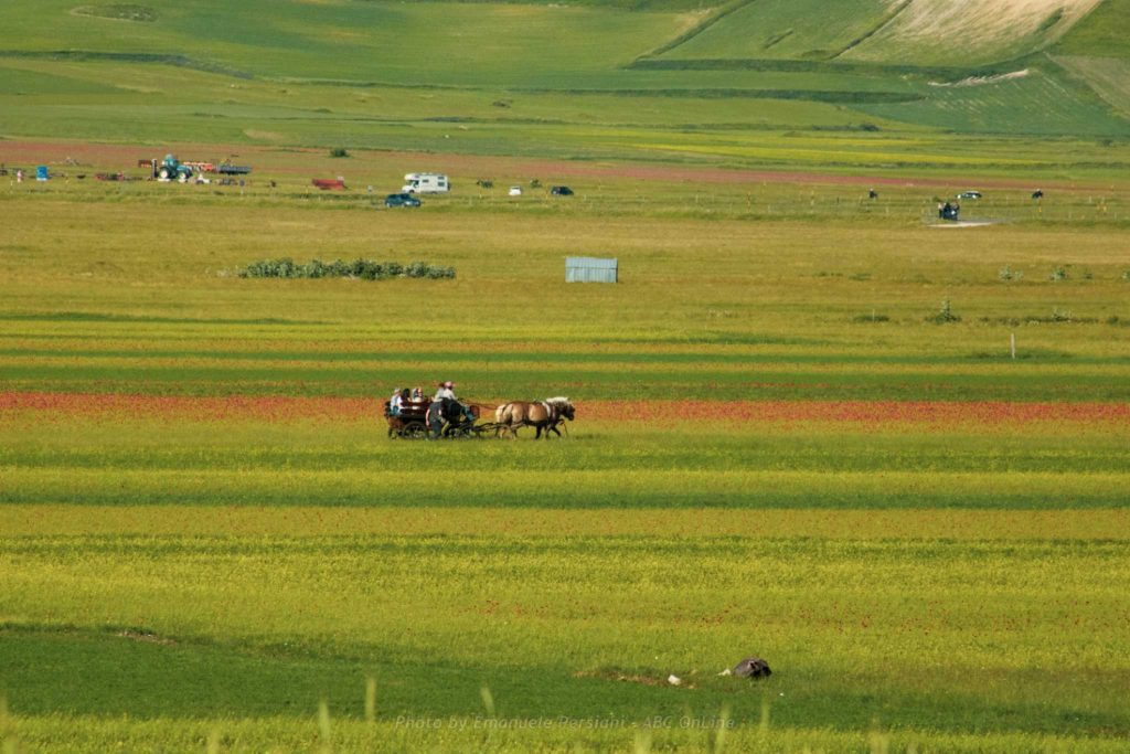
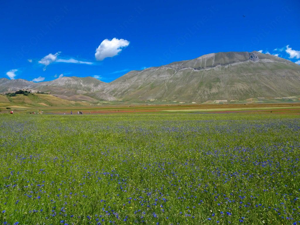
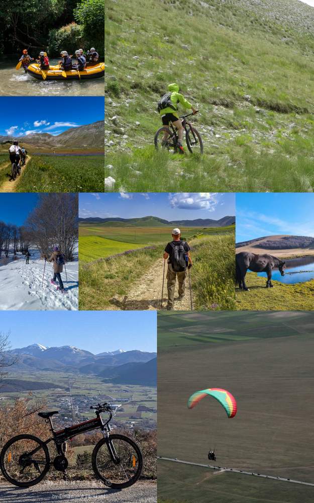
The Piani di Castelluccio, one of the most particular and significant places in the Park, were, in the Pliocene, the bottom of a vast lake. Today the main trace of this remains in the Fosso dei Mergani (karst sinkholes that “absorb” all the water from rain and thawing) and the area constantly shows signs of karst phenomena.
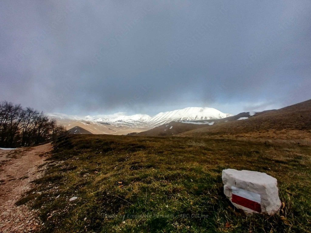
The itinerary, starting from the characteristic village, climbs up Mount Ventosola and then descends again and crosses the Pian Grande, the scene of spectacular blooms in spring and summer. The surface of this vast plateau, which seems almost smooth, is interrupted only by the Fosso dei Mergani, a karst incision, into which the rainwater from the vast basin dominated by the unmistakable presence of the austere M. Vettore (2,476 m.) is conveyed.
Taken from:
http://www.sibillini.net/chiedi_sibilla/sentieri/escursionistici/E13/
Castelluccio di Norcia itineraries and trails
Discover all the itineraries you can follow around Castelluccio di Norcia or check out the page dedicated to PARK GUIDES and why it is better to visit the area with a GUIDE.
- The Piangrande
- The Pantani di Accumoli
- The mountain trail for everyone (also suitable for people with disabilities)
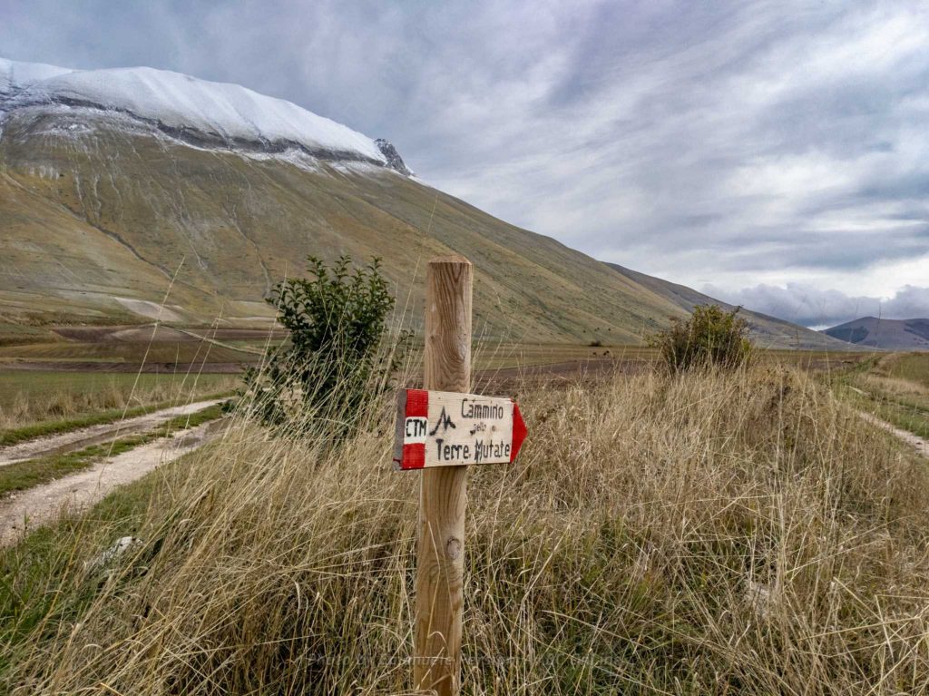
- The Way in the Mutated Lands
- The trail from Castelluccio to Carrier Mountain
- The path from Forca di Presta to Monte Vettore
- The path from Foce to Monte Vettore
- Pilate’s lake
- The Lame Rosse
- The Infernaccio Gorge
- Great Sibillini Ring (bike)
- Rifugio Argentella (Argentella hut)
- The Redentore peaks
Would you like to know how to walk these routes? Would you like the assistance of a guide? CONTACT US
