On foot, follow the dirt road in a north-easterly direction, passing the Fonte delle Monache (Collacci) on the left, and continue along a very uneven path in a narrow valley that rises between the Colli Alti e Bassi, passing a resting place with a fountain (1465m).
Alternatively, after 10 minutes from the starting point, you can follow a path marked red and white (a small stone cairn at the beginning, then wooden posts), which remains high on the right-hand side of the narrow valley (in the direction of travel) and ends at the fountain with a resting place.
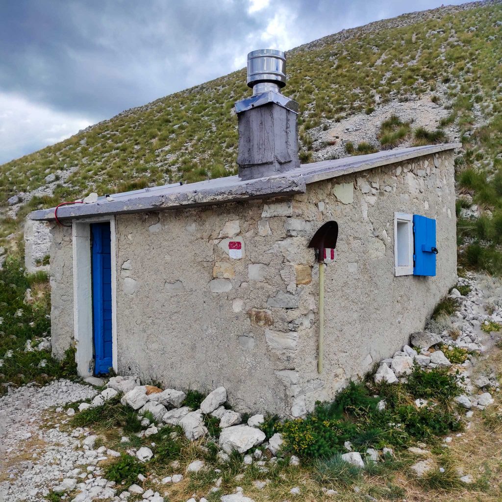
Past the fountain and the rest area of the Colli Alti e Bassi, to the south-east of Monte Abuzzago, there is a meadow where the Capanna Ghezzi (CAI Perugia refuge) and another fountain can be found, 1547 m. The refuge is closed, next to it is the house of the shepherd who stays with the sheep until autumn.
Continue along a well-marked mule track that skirts the southern ridge of the Colle Abieri (le Pianacce) and continues to a pass to the east of the Colle itself.
Just before you reach the saddle, there is a fork where you leave the Strada Imperiale (which crosses the whole of the western side of Monte Argentella and which you will follow on the return) and take the path to the right which, still halfway up, heads south as far as Forca Viola, 1936m (1.15 hours).
From the Forca, follow a path that goes halfway up the southern and south-eastern slopes of Monte Argentella (north-west), passing the Fonte delle Fate (2002m) and the Casale dell’Argentella (2026m), a small refuge in a very panoramic position towards Castelluccio.
From the Casale you can continue along the path for another kilometre, then leave it and go up a steep rocky and grassy slope to reach the summit of Monte Argentella at 2200m (1.15 hours from Forca Viola).
From: “LE MIE PASSEGGIATE DA CASTELLUCCIO”
Castelluccio di Norcia itineraries and trails
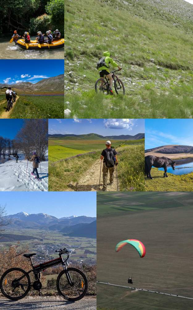
Discover all the itineraries you can follow around Castelluccio di Norcia or check out the page dedicated to PARK GUIDES and why it is better to visit the area with a GUIDE.
- The Piangrande
- The Pantani di Accumoli
- The mountain trail for everyone (also suitable for people with disabilities)
- The Way in the Mutated Lands
- The trail from Castelluccio to Carrier Mountain
- The path from Forca di Presta to Monte Vettore
- The path from Foce to Monte Vettore
- Pilate’s lake
- The Lame Rosse
- The Infernaccio Gorge
- Great Sibillini Ring (bike)
- Rifugio Argentella (Argentella hut)
- The Redentore peaks
Would you like to know how to walk these routes? Would you like the assistance of a guide? CONTACT US


