On this page dedicated to the Monte Vettore itinerary, you will find the length of the route, the ideal season and all the useful information you need to walk one of the most famous paths in our area.
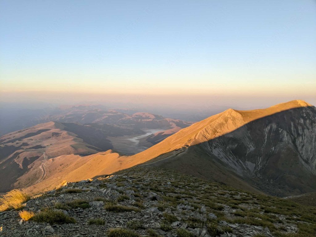
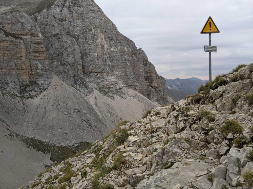
The Monte Vettore itinerary is one of the most popular and famous hikes in the central Apennines. It runs almost entirely through the Marche region. The peak of Monte Vettore reaches an altitude of 2,476 metres and is located inside the Monti Sibillini National Park, in a “class A” protected area. The length of the route, starting from Forca di Presta, is about 5 km with a difference in altitude of about 900 metres. This is the most popular and well known route: it starts from the car park at the Forca di Presta pass, just after the border with the Marche region (from Castelluccio di Norcia).
The ideal season for the ascent is the summer, when the temperatures are milder.
When do we go to the mountains?
As we have said, the ideal time to climb Monte Vettore is summer, when the climate is most favourable. However, if you are well trained and prepared, you can also climb it in other seasons. In winter, for example, the route is often covered with snow and ice, but with the right equipment and a good guide, you can still reach the summit.
How to get to Monte Vettore
To reach Monte Vettore you can start from different points, either in Umbria or in the Marche, but we recommend the best route. By car you can reach the Forca di Presta pass, about 10 minutes from Castelluccio, 30 minutes from Norcia or 20 minutes from Arquata.
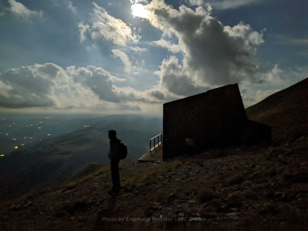
From here the main path begins, which leads to the Zilioli Hut in a constant ascent of about 700 metres (the hut is at 2,250 metres above sea level and starts at 1,538 metres), with no trees or water points.
The starting point is usually not served by public transport, so it is advisable to organise your own travel by car or other private means.
Another route starts from Castelluccio and leads to Monte Vettore via Lago di Pilato or along the high route with the peaks of Monte Redentore and Cima dell’Osservatorio.
Another possibility is to leave from Foce di Montemonaco.
These three alternatives are certainly suitable for more educated and technically minded people.
To whom is the Monte Vettore Trail recommended?
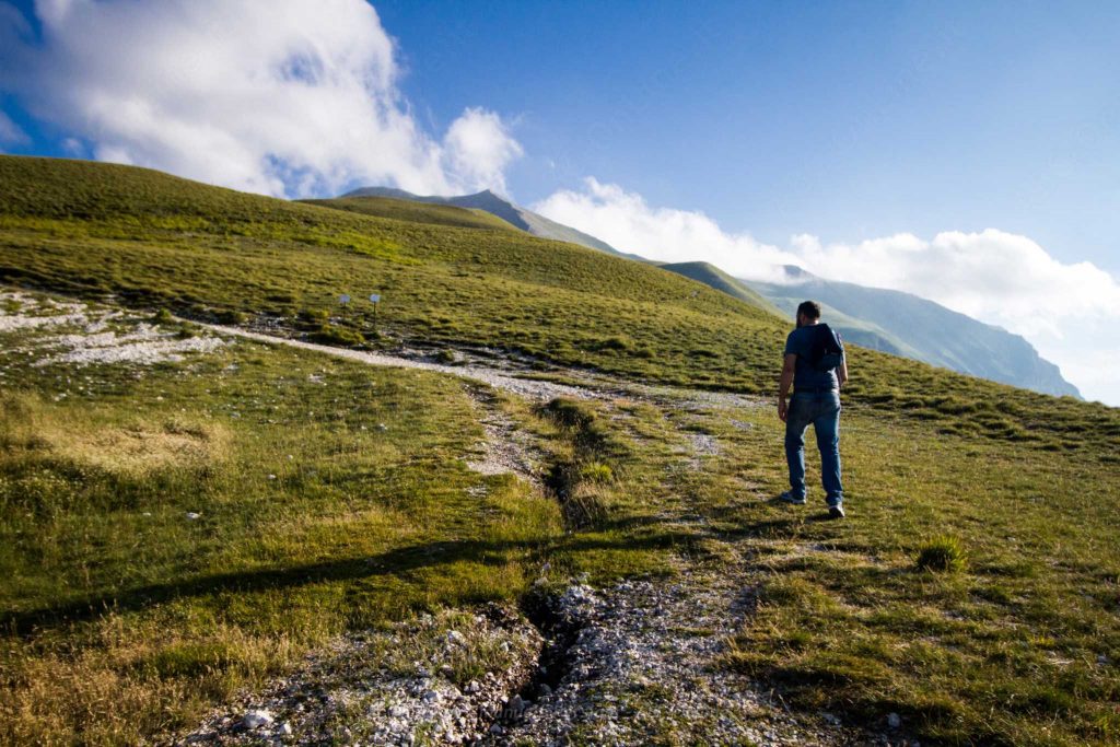
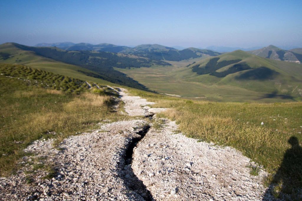
Monte Vettore is an ideal place for those who love nature and outdoor activities. In fact, you can go hiking and walking in the beautiful scenery surrounding the mountain, enjoying breathtaking views of the valley below.
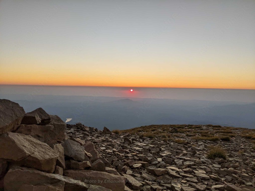
To climb Monte Vettore, it is necessary to be in good physical condition, as the route is quite demanding. We also advise you to wear comfortable shoes, technically suitable for trekking, and to be very careful while walking. Once you reach the top, you will be able to enjoy a splendid view of the entire Marche hillside and even the sea. During the ascent there will be many observation points, so we advise you to bring a good camera to capture these landscapes.
How long is the hike to Monte Vettore?
The ascent on the Monte Vettore path takes about 2-3 hours. The time can vary depending on the pace and physical condition of the individual hiker. It is therefore advisable to start early and to take breaks along the way.
What equipment to bring on Monte Vettore
First of all, it is important to wear comfortable, seasonally appropriate clothing and a pair of hiking shoes with sturdy soles. There are no bushes and no protection from the sun, so it is essential to bring a hat and a good supply of water to prevent sunstroke. You will also need a waterproof jacket in case of rain and, depending on the season, the right protection against the cold. Usually, you do not need winter clothes for hiking in summer, but if you want to spend the night in the mountains, it is essential to bring the necessary protection from the cold. Temperatures can be close to zero even in summer.
Finally, don’t forget to bring along some snacks to keep your hunger under control during the hike!
For further useful information, please consult the website dedicated to all the VALNERINA PATHS
Would you like to know how to walk these routes? Would you like the assistance of a guide? CONTACT US